Applications
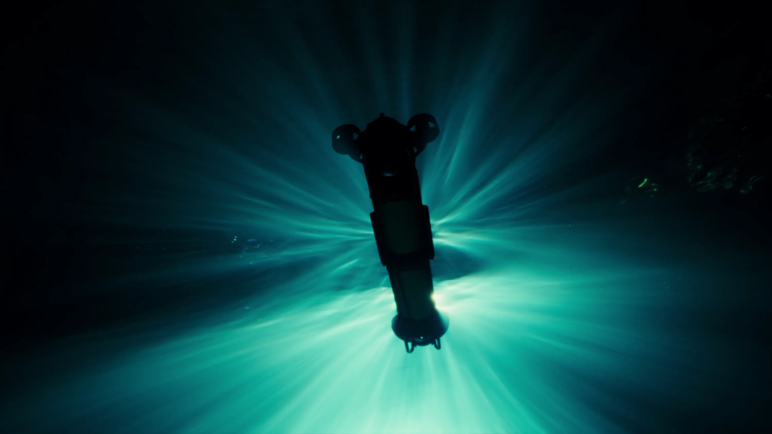
Skarv systems work close to the seabed, where optical and acoustic sensors capture the fine detail that identification depends on. The same vehicles, cameras, and software support survey, inspection, aquaculture, and defence operations.
Each domain below sets out the work carried out, the data returned, and the deliveries and exercises already completed.
Defence
Defence and security operations
A minefield and a seabed survey come down to the same task: detecting, imaging and classifying objects on the seabed. This shared foundation is what makes the platform dual-use. In mine countermeasures, it separates ordnance from debris and clutter. For ISR, the same vehicles gather underwater information without putting anyone in the water. Port and harbour security works the same way: a sweep built to find a mine finds anything else that shouldn't be on the bottom before a vessel enters.
The vehicles are deployed and recovered by a minimal crew, working either from land or from a vessel. Modular mine countermeasure attachments extend the standard configuration for defence operations.
Skarv entered the defence domain through NATO's DIANA accelerator, followed by demonstrations with FFI, operations with the Norwegian defence sector, and participation in the REPMUS exercise in Portugal.
- Mine countermeasures (MCM)
- Intelligence, surveillance, and reconnaissance (ISR)
- Rapid area assessment (RAA)
- Protection of critical underwater infrastructure
- Port and harbour security
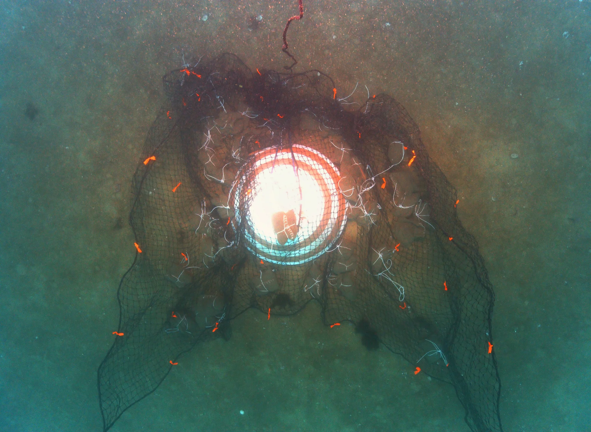
Training mine entangled in discarded netting 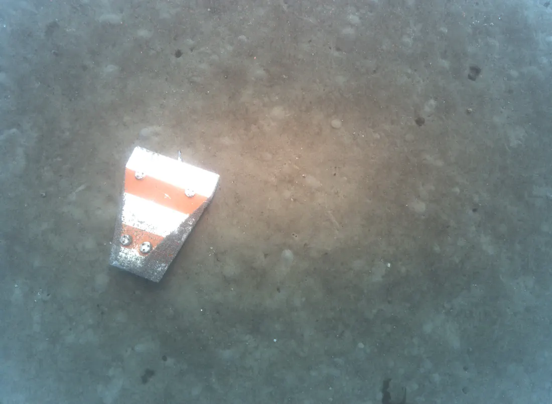
Mine located on a sandy bottom
Survey
Seafloor mapping
Flying close along the bottom, the CORAX covers a survey line at a height where the camera and sonar are able to provide high resolution to resolve details down to millimetre scale. Proprietary software and processing subsequently analyse the data and generate georeferenced imagery mosaics and classified detections depending on the application. Planning survey coverage, altitude, and overlap is easily done in Skarv's C2 software. Skarv specialises in providing AUVs and tools for seabed mapping.
- Optical and acoustic seabed mapping
- Environmental and baseline surveys
- Marine debris and UXO detection
- Hyperspectral imaging
- Change detection between campaigns
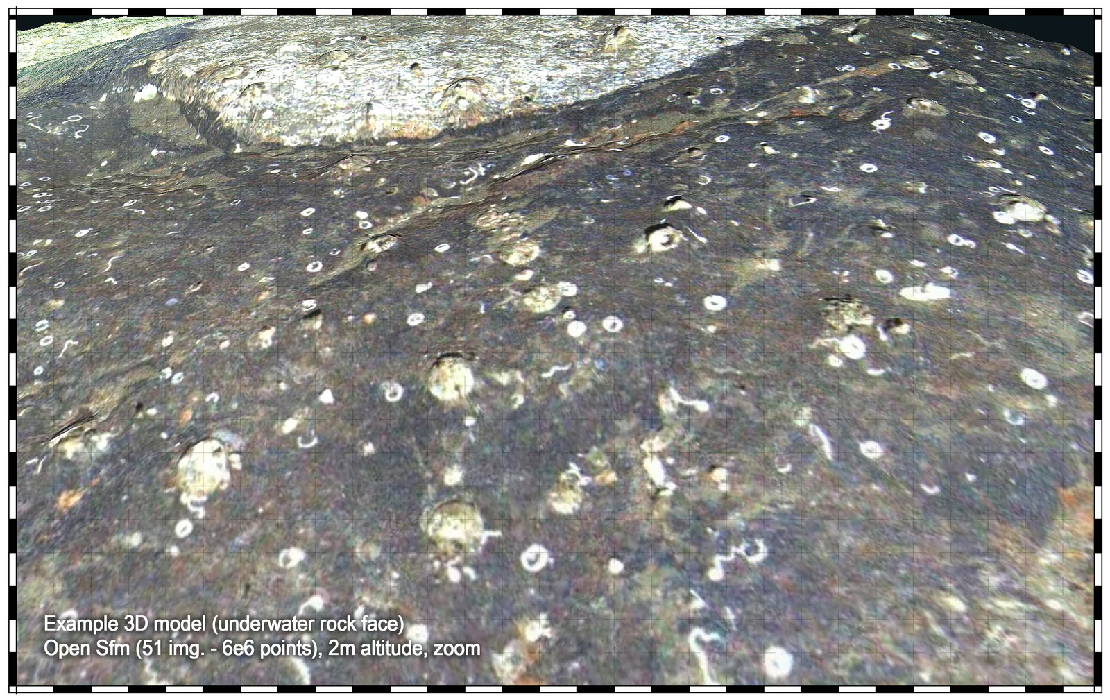
Three-dimensional model of an underwater rock face 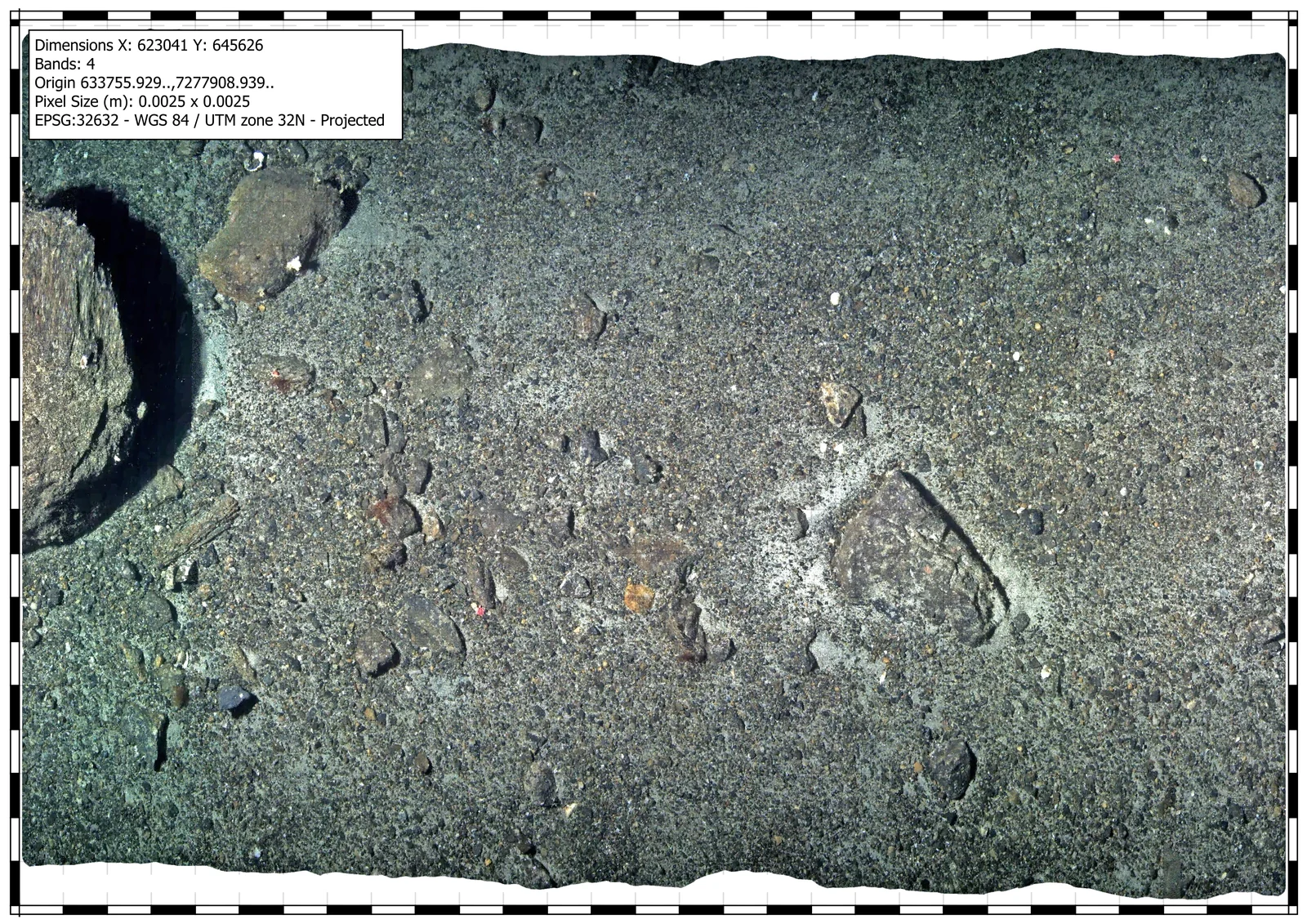
Georeferenced image mosaic of a gravel seabed 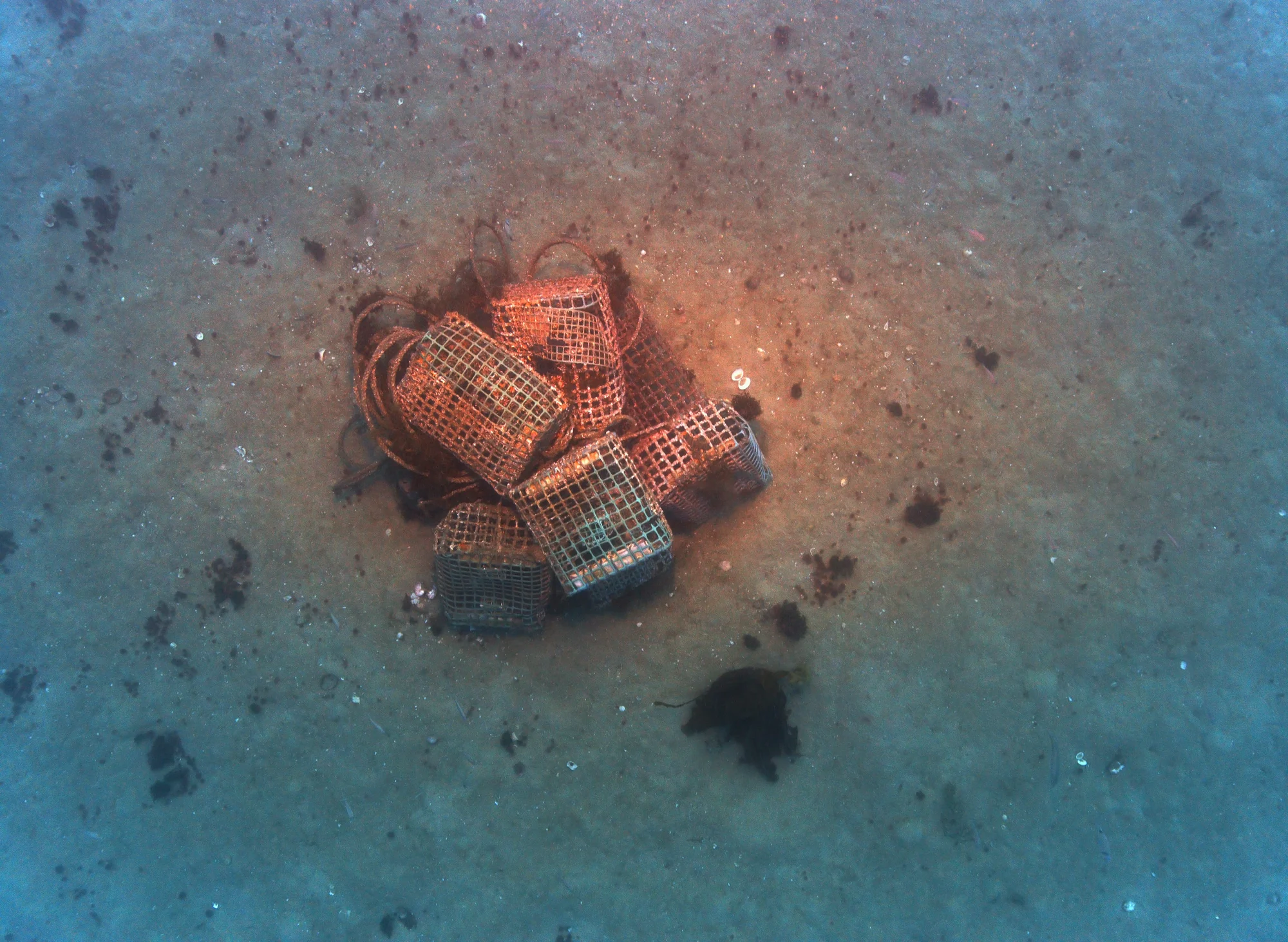
Example image of marine debris
Inspection
Offshore and coastal infrastructure
Subsea assets need a visual record that can be compared over time. The CORAX 600 and the Skarv 4K camera provide high-resolution, georeferenced imagery, so successive campaigns over the same asset can be placed side by side for change detection, preventive maintenance and security.
Skarv's imaging systems are engineered to stay dependable in turbid water, such as harbours, rivers, and coastal sites. Software-based image enhancement and correction support detection and classification, producing imagery and reports ready for decision-making.
- Pipeline, cable, and fibre-optic routes
- Offshore energy structures and foundations
- Ports and harbours
- Repeat inspection and change detection
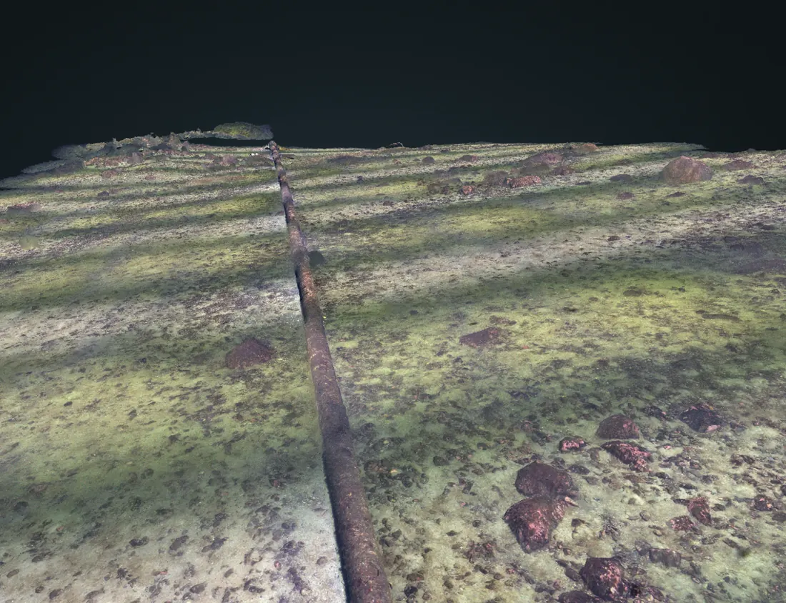
Photogrammetric model of a pipeline route 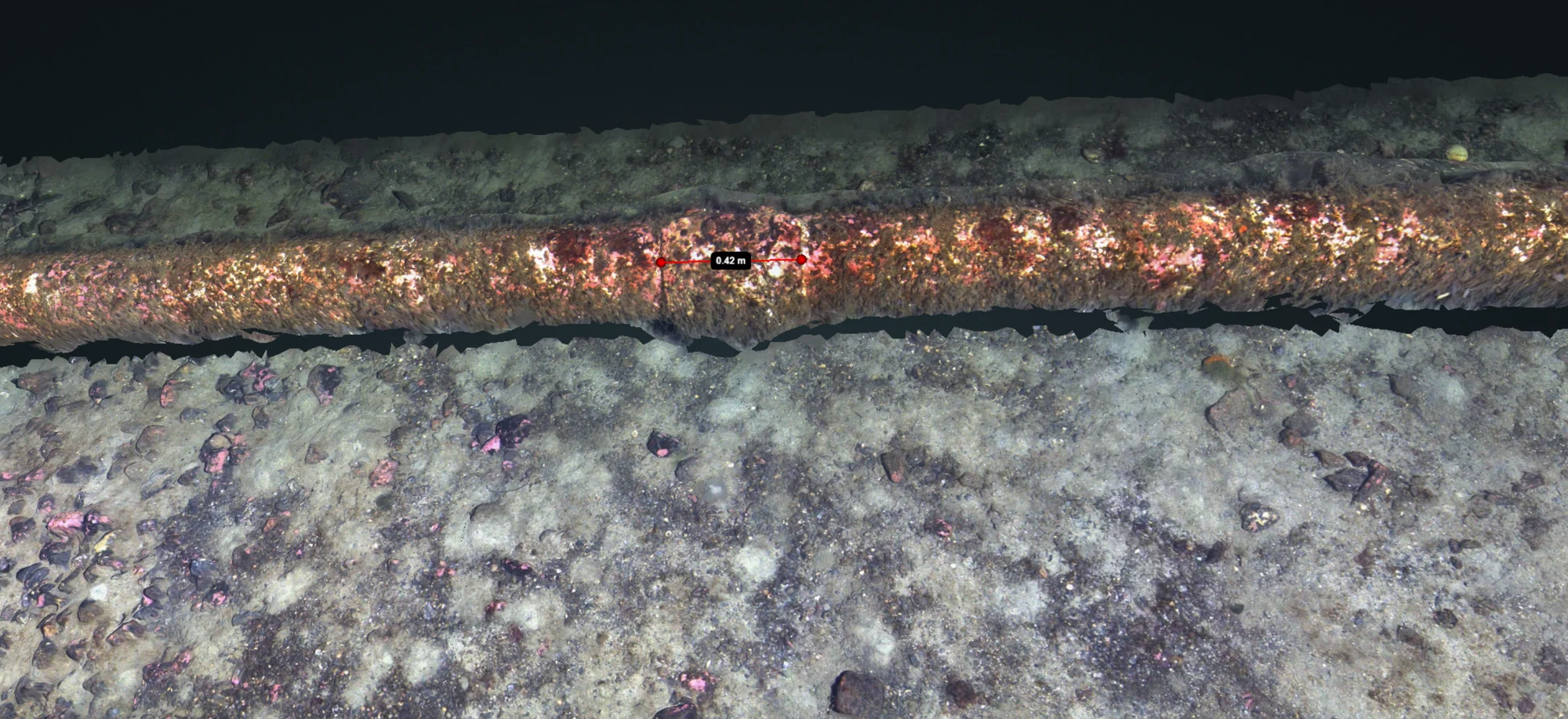
Optical mosaic following the pipe
Aquaculture
Aquaculture
Environmental monitoring
Skarv's systems monitor the seabed beneath and around a site, capturing benthic habitat and recording sediment and fauna as they are found. Repeat visits to the same site let the imagery be compared season to season, so gradual changes in the habitat don't go unnoticed. Together, this supports environmental monitoring and site documentation.
- Benthic habitat mapping
- Environmental monitoring and documentation
- Change detection between campaigns
Net inspection and structural monitoring
The same imaging chain covers the structures at a site, such as nets, moorings and anchoring. The NotVakt system has run continuous net inspection on the offshore fish farm Ocean Farm 1, catching damage before it spreads. SalMar Aker Ocean has since signed a four-year contract for automatic net inspection.
- Net inspection and damage detection
- Mooring and asset inspection
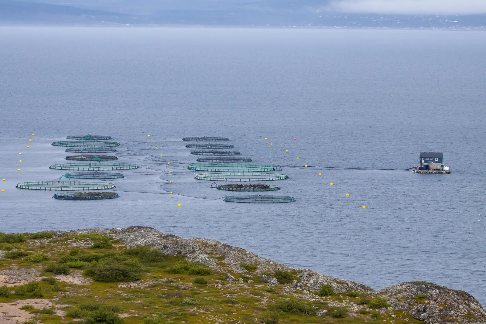
Offshore aquaculture site 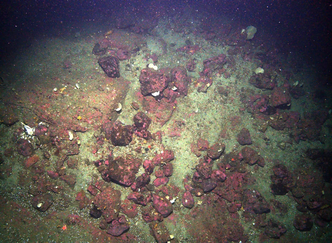
Bottom habitat imaged from close range
The system behind the work
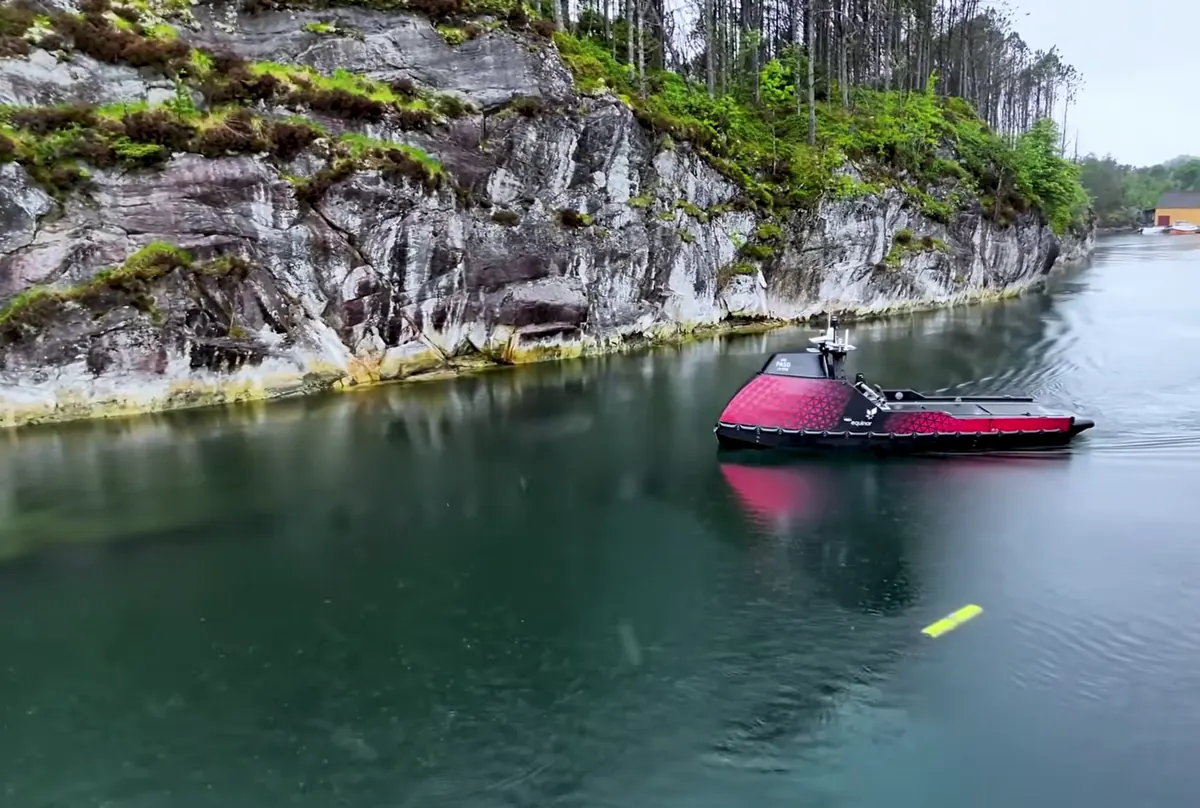
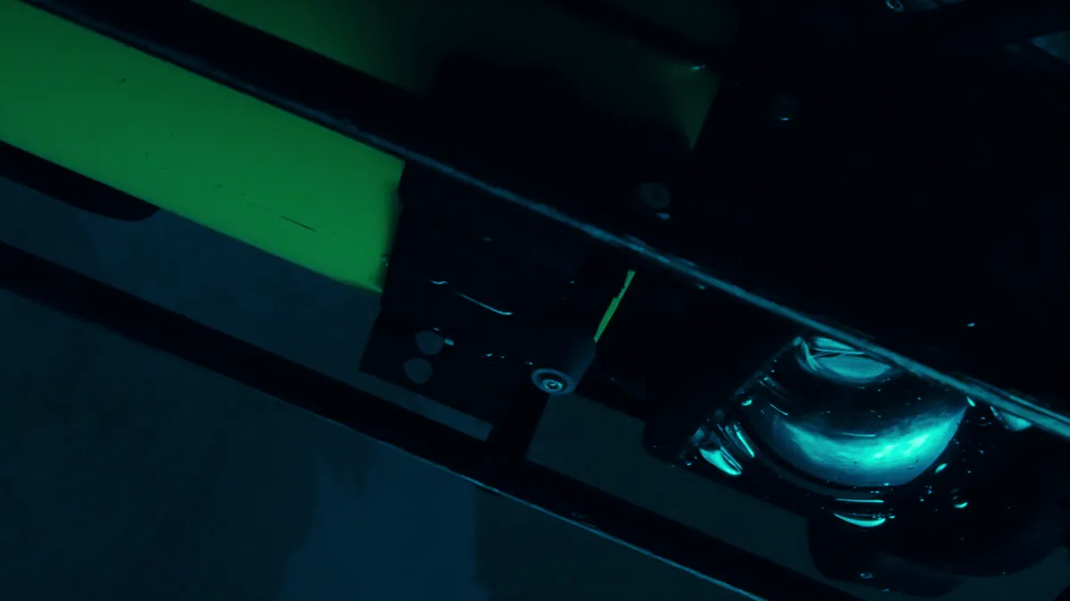
The CORAX vehicle gets sensors to the seabed and holds position there, close enough for the subsea camera to capture the detail at 4K. Skarv Software handles the rest, from mission planning to the imagery, mosaics, and classified detections an operator actually works with. Every application above runs on this same system, whether the mission is a habitat survey off the Norwegian coast or clearing a minefield.
The parts are sold together as a complete system, or separately for integration onto other platforms already in service. Skarv develops, builds, and wet-tests everything in Trondheim, Norway.
Discuss an operation
Missions differ in area, depth, water conditions, and the results an operator needs. The team in Trondheim configures vehicle, sensors, and software to the operation, and delivers custom solutions where a mission calls for them.